Many residential builds in Waterloo back onto the Grand River or Laurel Creek valleys. The slope looks stable until a wet spring arrives. Our team regularly evaluates these glacial till slopes using limit equilibrium methods and finite element modeling. The local stratigraphy—silty clay till over limestone bedrock—creates perched water tables that reduce effective stress fast. A proper slope stability analysis identifies the critical failure surface before excavation begins. We also run in-situ permeability tests to quantify groundwater flow, because pore pressure is the main trigger here, not slope angle alone. Waterloo's freeze-thaw cycles add a seasonal factor that standard desktop studies miss.
A slope in Waterloo's glacial till can fail at a 3:1 inclination if pore pressure isn't controlled—geometry alone won't save it.
Service characteristics in Waterloo Ontario
Risks and considerations in Waterloo Ontario
NBCC 2020 assigns Waterloo a low seismic hazard (PGA ~0.06g), but the real risk is hydrological. A 1-in-100-year rain event can raise the water table by 2–3 meters in 48 hours. That rapid rise eliminates matric suction in the unsaturated zone and can drop the factor of safety from 1.5 to below 1.0. We see this most often in slopes cut for walkout basements in the Columbia Forest and Westvale neighborhoods. The till's overconsolidated structure masks the risk: it stands vertical during excavation, then fails months later when water migrates through fractures. A desk study alone won't flag this. You need site-specific pore pressure measurements and a stability model calibrated to local precipitation records.
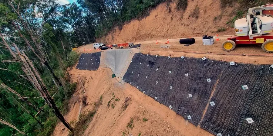
Our services
Our slope stability assessments cover the full project lifecycle—from preliminary desktop reviews to construction-phase instrumentation. Each analysis is site-specific and calibrated to Waterloo's geology.
Limit Equilibrium Modeling
Morgenstern-Price and Spencer methods using SLOPE/W. We model circular and non-circular failure surfaces for natural slopes, engineered cuts, and embankments.
Finite Element Shear Strength Reduction
SSR analysis in PLAXIS 2D to capture progressive failure and serviceability deformations that limit equilibrium methods miss.
Remediation Design Support
Slope flattening, toe berms, drainage systems, and soil nailing layouts with stability verification under long-term and construction conditions.
Frequently asked questions
What slope setbacks does Waterloo require for new construction?
The Ontario Building Code generally requires a minimum 1:3 stable slope ratio from the property line, but Waterloo's zoning bylaws may impose larger setbacks near the Grand River and Laurel Creek valleys. A geotechnical stability analysis is required to confirm the setback is adequate for the specific soil conditions and groundwater levels on your lot.
How much does a slope stability analysis cost in Waterloo?
A complete analysis with site investigation, laboratory testing, and a signed engineering report typically ranges from CA$1,780 to CA$5,770. The cost depends on slope height, access difficulty, and whether instrumentation like piezometers or inclinometers is needed for long-term monitoring.
Do I need a stability analysis for a retaining wall under 1 meter?
Under the Ontario Building Code, walls under 1 meter may not require a professional design, but if the wall retains a slope or supports a surcharge, we recommend at minimum a global stability check. A shallow failure behind a small wall can still damage adjacent property and trigger liability issues.
What soil parameters control slope stability in Waterloo?
The key parameters are the drained friction angle and cohesion of the Port Stanley Till, the depth to groundwater, and the presence of any sand or silt lenses. We determine these through consolidated-undrained triaxial testing and install standpipe piezometers to measure actual pore pressures over a wet-dry cycle before finalizing the model.